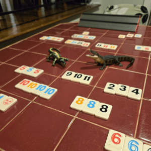
We were literally “pre-gaming” — and Vif and Vrai watched:
We’re not keeping track of wins/losses until we’re officially on vacation (i.e., after we get through airport security and are having our first drink), but if we were, the tally so far would be:
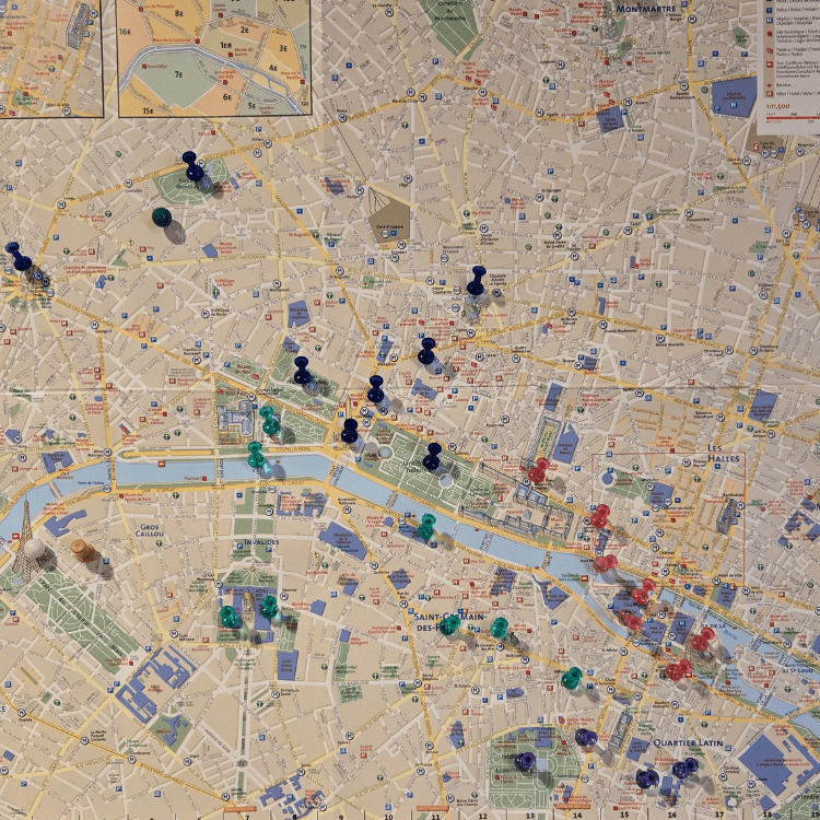
Here’s my cork board with a map of Paris, all nice and color-coded.
Are we overly ambitious? Have we underestimated jet lag? Have we forgotten that we haven’t been getting into shape the way we promised we would when we booked this last year?
Answers: probably yes, almost certainly yes, and duh!
Nevertheless! We’re going to give it a go. Everyone says Paris is very walkable. Plus, according to the distance scale on this map, things aren’t as far as one might think. Example: The Arc de Triomphe and Jardin des Tuileries look like they’re halfway across the map, but they’re actually about 1.5 miles apart. That’s doable. I walk that far every time I’m in Costco.
And … we’ll be tracking our steps and the distance (courtesy of my judgmental smart watch that keeps telling me I’m sitting for too long every day).
Walking aside, let’s talk about the color-coding. As you might have guessed, the different colors represent days, but don’t get all judgy (I have enough of that from my judgmental smart watch). The sheer number of colored stick pins makes it look like we’re going to be power-walking through the rues. But that’s misleading. Those are merely the things we want to see, and this is a visual of where things are so we’ll know to be looking for them.
Trust me, most of the time we’ll just be strolling along, looking for a charming bistro and a glass of champagne.